
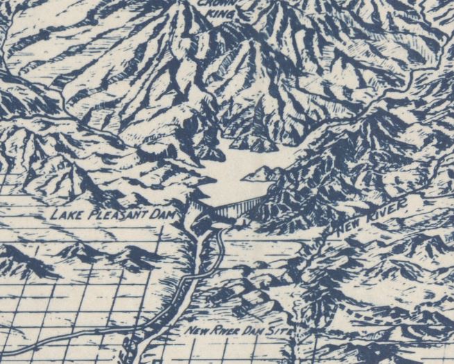
In 1934, the Phoenix valley was mostly farmland thanks to the incredibly successful damming of the Salt River with the Roosevelt Dam via the Salt River Project in the early 1900s and the later dams along the Salt and Verde River. Drawn by T.A. Hayden, Our October Map of the Month gives us a very unique view of the valley and its surrounding environs. The cartography, in a beautiful blue, is drawn as though it were taken from far above the ground.

Here, we can see the size of the various cities in the Valley. Tempe, Mesa, Chandler, Gilbert, Glendale, Scottsdale, Laveen, and Phoenix are all visible, albeit as a small collection of buildings; especially when compared to the current urban sprawl that is the Phoenix Metro Area today, thanks to the advent of air conditioning. They’re all surrounded by farmlands, displayed by various hashes, lines, or other little variations that all serve to make the land look vibrant. Each canal is labeled, and even the distinct form of Camelback Mountain can be seen just north of Scottsdale.

Off in the rugged terrain of the Superstition Wilderness, the five dams along the Salt River are apparent. Granite Reef, Stewart Mountain, Mormon Flat, Horse Mesa, and Roosevelt Dam can all be seen, along with the two dams along the Verde River. Bartlett Dam is seen at the very top of that screenshot above, while horseshoe dam is further to the north.

The map doesn’t just cover the Salt River Valley, though. It extends north by a significant amount, reaching as far as Prescott. Various roads can be seen snaking through the mountains, and the refineries of Clarkdale can be seen by their high-reaching smokestacks. The Mogollon Rim can be seen at the very top right, while Casa Grande is at the very bottom. Similarly, off to the central right edge of the map, the same industrial buildings can be seen in Superior.
We hope you enjoyed this month's map! These were just some highlights of what can be found in this gorgeous hand-drawn map. If you would like to see a detailed view of Phoenix during this period of time, please check out our 1933 Lot Map of Phoenix WebApp!
As with all of our Map of the Month features, if you’d like to learn more about this map or schedule a visit to explore our maps in person, please submit a Map and Geo Service Request. We’ll be sure to get back to you within two business days, but typically sooner.
- Eric Friesenhahn, Map and GIS Specialist