Our February Map of the Month is this 1945 map of the “Papago Park Prisoner of War Camp” that was used to hold German P.O.W.s during the Second World War. The map provides a detailed overview of the entire camp, including the various compounds, officer areas, guard towers, and even the canal that the prisoners used for their infamous 1944 escape.

This map was lost for nearly two decades before it was discovered in 1962 in a building that had once served as the camp’s officer club. The map was found by the Elks Lodge members who had purchased the building and begun moving their club into the space. They kept the map in the Lodge for a while, but in 2005 the Elks made the decision to give copies of it to several historical societies of Tempe and Scottsdale in order to preserve the document’s information should anything ever happen to the original. The detailed labeling of all the facilities and items on this map give far more insight into Camp Papago Park than previously existed and it has assisted in efforts to further explore this part of Arizona’s history.

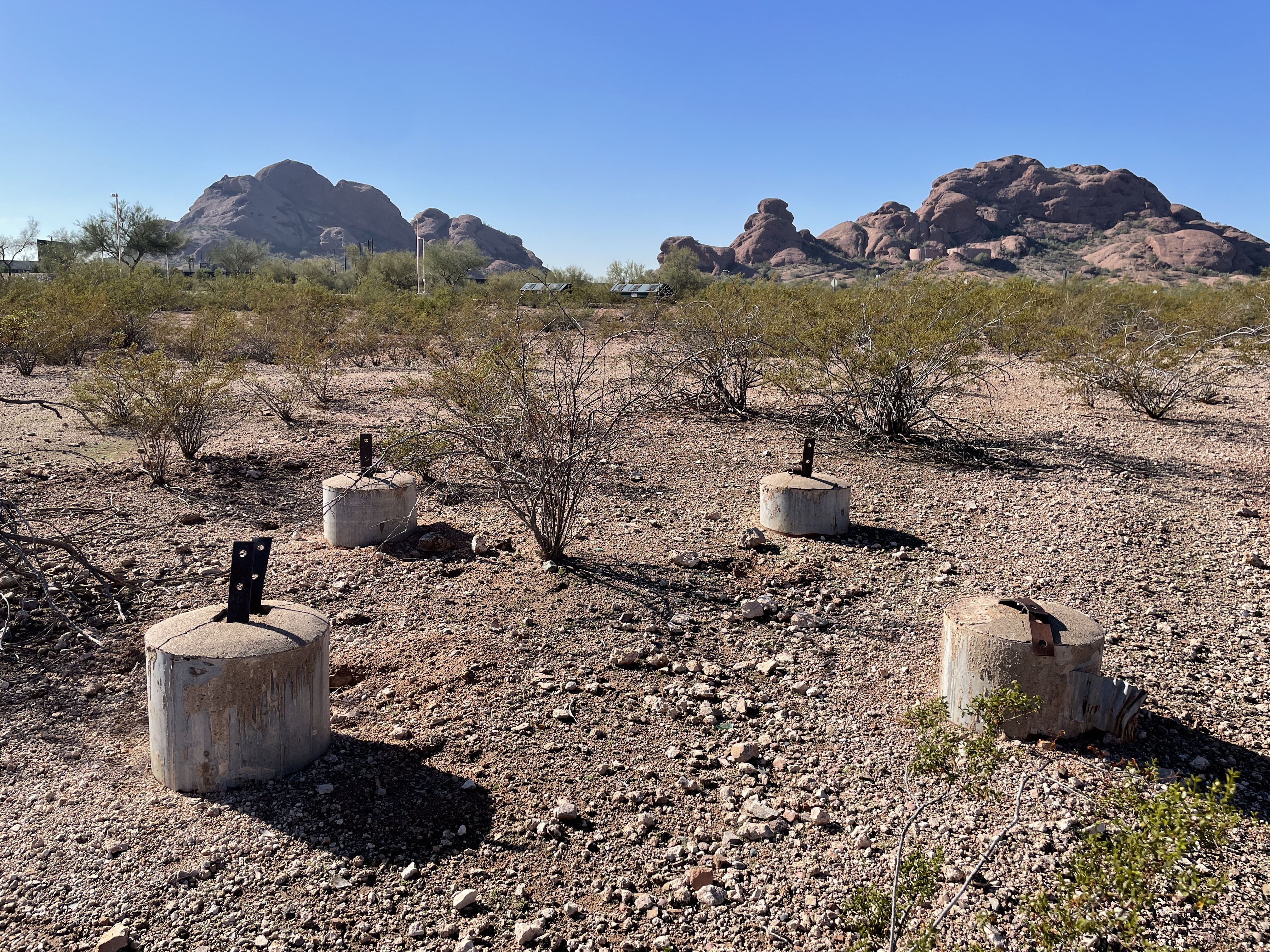
The camp itself was located in the northeast portion of Papago Park near what is now McDowell Road. Although Papago Park is currently in the heart of the Phoenix metro, in the 1940s it was still surrounded by desert and was several miles outside the city’s limits, so the decision to construct a P.O.W. camp on the former Army training site seemed a reasonable one. The camp was constructed in 1943, and by the time of the famed escape it held over 3,000 P.O.W.s in addition to the hundreds of guards and staff that ran the camp. Today, the only remnants of the camp are the Officer’s Club that is now used by the Elk Lodge and the concrete foundations of a few watchtowers.
The camp was originally used as a space to hold captured Italian soldiers, but that changed early in 1944 when it was redesignated as a camp for German soldiers. The vast majority of these German prisoners had served on U boats and there were several high ranking lieutenants and captains among them. The men held in this camp generally had a high quality of life, especially compared to the captured soldiers who were held by the Axis powers. The P.O.W.s at Camp Papago Park could choose to work or study to help pass the time and they were provided with many recreational opportunities like playing tennis or attending weekly movie screenings. They were housed in one of five compounds that each had multiple barracks and bath houses. There were numerous guard towers around and throughout the camp, but it was built to function relatively independently as a small town of sorts. The camp had recreation areas, a motor repair shop, a hospital and dental clinic, and staff quarters in addition to its own reservoir and sewage plant.

Despite the good conditions they were held in, many of the prisoners still sought to return home by any means necessary. On December 23, 1944, 25 German P.O.W.s escaped from Camp Papago Park, including the group’s U boat commander Captain Jürgen Wattenberg. Upon his arrival to the camp, Wattenberg began planning an escape that centered on the convenient area of his compound that he discovered was in a blind spot for all the guard towers. He and his fellow prisoners began to construct a tunnel in this blind spot in September of 1944. They did so under the guise of going to the neighboring bath house to shower and used tools that they had been loaned when they asked to construct a volleyball court for the camp. They used a box to cover the tunnel’s entrance throughout the weeks they worked and by December the tunnel was complete, reaching from the eastern edge of Compound 1 to an exit next to the Cross Cut Canal. Wattenberg oversaw their final preparations and arranged for some of the other men to cause a diversion so that the 25 men could slip away in the night. It wasn’t until evening the next day that the American officers realized that some of their prisoners had vanished.

Although their tunnel worked and they successfully escaped the camp, the luck of Wattenberg and his men soon ran out. Their plan had been to use the canals to get to the Salt River, at which point they would use the raft they had constructed to sail to the Gila River, then to the Colorado River, finally making their way to the Gulf of Mexico. However, upon reaching the Salt River, they were faced with an almost dry riverbed and an extensive plan that would no longer work. At this point, the group split up and did their best to avoid the search party that was sent after them. Many of the men were either caught or surrendered within the first few days after escaping due to an inability to access food or shelter. Other groups of the men made it further, with one group making it to Gila Bend before capture and two others making it within 50 miles of the Mexico border before being apprehended.

The last man to get captured was Wattenberg himself. He and two other men had managed to avoid capture by hiding out in a mountain cave north of Phoenix and sneaking back to Camp Papago Park to steal food and gather information. When one of the men was at the Camp collecting food, he was captured, and four days later Wattenberg made his way into Phoenix out of a need for food. While there, he was recognized and finally recaptured over a month after his original escape. All of the escapees were recaptured by January 28, 1945, and while they expected severe punishments for their escape, in the end they only received reduced rations. The Papago Park Escape was the largest P.O.W. escape from an American camp during World War II.
We hope you enjoyed this month's map! As with all of our Map of the Month features, if you’d like to learn more about this map or schedule a visit to explore our maps in person, please submit a Map and Geo Service Request. We’ll be sure to get back to you within two business days, but typically sooner.
- Kelsey Kerley, Map and GIS Assistant