exploration news

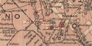
Map of the Month: April 2023
Our April Map of the Month is this 1907 map of the American Southwest titled, the ”Greatest Mineral Belt in the World”. The map depicts the breadth of gold, silver, and copper through the mineral belt...

Map of the Month: January 2023
Happy New Year! Our January Map of the Month is this map titled “North America Drawn from the Latest and Best Authorities” that is believed to be from the 1780s. It was made by Thomas Kitchin, an Engl...

Map of the Month: December 2021
Our December Map of the Month is this French map titled “New Mexico, with the Northern Part of Old, Or New Spain”. Among the oldest maps in our collection, this map was made by Rigobert Bonne and was ...

Map of the Month: June 2021
Our June Map of the Month is this 1844 Plan de l'embouchure du Rio Colorado dans la Mer Vermeille (English title: Plan from the Mouth of Rio Colorado in the Ruddy Sea). It is a French survey of the mo...