Colorado news

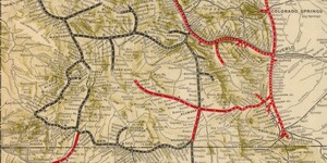
Map of the Month: June 2022
Our June Map of the Month is a 1905 “Map of the Denver & Rio Grande System” depicting the extent of the Denver and Rio Grande Railroad at the time as well as its connecting lines and variation in rail type throughout the system. The Denver and Rio Grande was one of the largest and most significa...

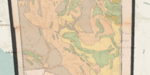
New Web App: Western North America Vegetation and Locust Map
Our latest web app, Western North America Vegetation and Locust Map, is now live and available to the public. Map of a Portion of Western North America Showing the Distribution of Vegetation with Reference to the Multiplication of and Means o...