Time
Friday, March 1, 2019
11:15am–11:45am
Location
Memorial Union, Arizona Ballroom (Room 221)
301 E Orange St, Tempe, AZ 85281
Presenter
Presentation Abstract
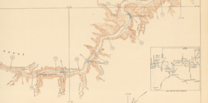
In 1923 an expedition left Lees Ferry with the intent of making an unbroken level survey line 251 miles through Grand Canyon. This expedition was led by the Chief Topographic Engineer of the USGS, Claude Birdseye. His handpicked crew consisted of four boatman, a rodman and a cook, who navigated four boats over 74 day to complete this remarkable task. Birdseye and his men also ran survey lines up prominent side canyons and were charged with perhaps the most important aspect of the mission, locating potential dam sites. The level line that was produced from this expedition and the accurate maps of eight potential dam sites started a dialogue that would frame and potentially tame the wild Colorado River running through the West. These maps were ultimately used to aid in the creation of multiple dams and water diversion projects. Today researchers continue to utilize several maps, photographs and survey points almost 100 years after they were collected.
