A new Web App, 1918 National Parks and Monuments, is now live on ASU Geodata. This App digitizes a map of the National Park and Monument system in its infancy and overlays it across a modern map of the United States, allowing the user to explore the NPS two years after its creation.
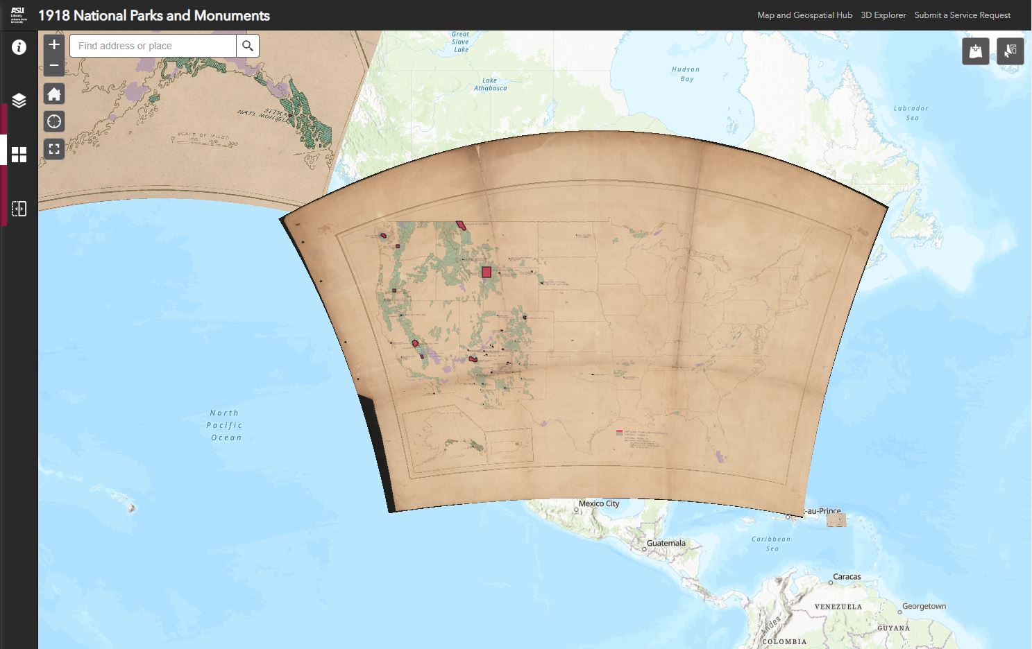
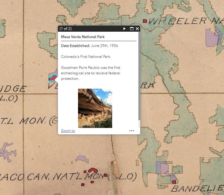
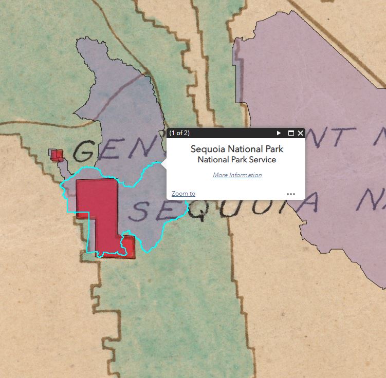
Each Park and Monument unit on the map has been digitized. Selecting a unit will provide the user with more info about it, shedding some light on the history for each location.
Additionally, a modern day layer of the National Park Service is included. Those are the lilac polygons that are seemingly floating over the map. Some of the units on the original map are significantly displaced from their real-world location, showcasing just how advanced mapping technology has become since the publication of this map.
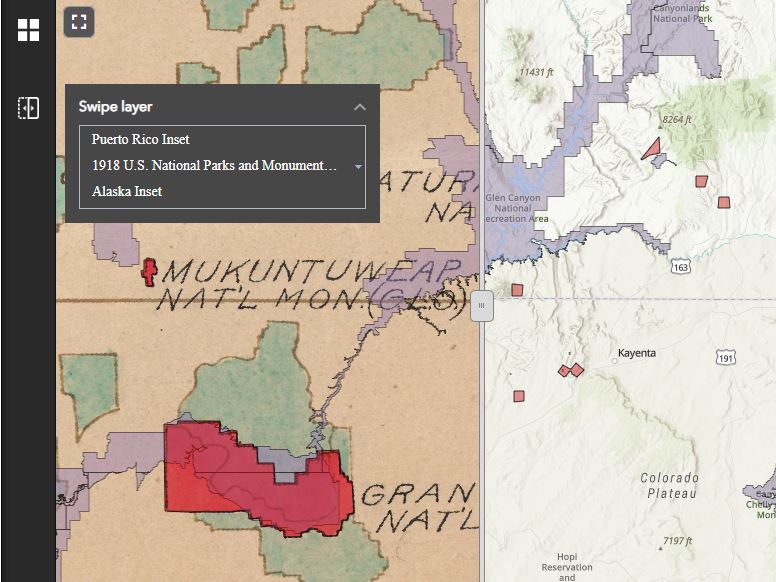
Users can also use the Swipe tool found on the left to further enhance their exploration. All layers are compatible, simply select the layers you'd like to swipe and drag the bar to the left or right.
We hope you enjoy exploring the differences in the National Park service then and now with our 1918 National Parks and Monuments WebApp! If you'd like to learn even more about this map, please check out our Map of the Month post for March 2024.
If you’d like to access the high resolution of scan of this map, please submit a Map/Geo Service Request. We’ll be sure to get back to you within two business days, but typically sooner.
-Eric Friesenhahn, Map and GIS Specialist