history news

USGS Aerial Orthophoto Web Map Index
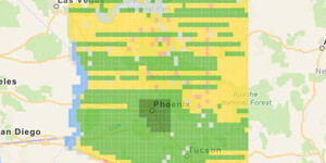
If you’re looking for aerial photographs of Arizona from the 1970’s, the USGS Orthophotos are a good place to start. The scale for these black and white photos is 1:24,000 and they line up with the USGS 7.5’ topographic map series. These photos are housed at the ASU Map and Geospatial Hub. While th...

Mapping Grand Canyon Conference -- Website Live!
If you haven't yet heard, the Mapping Grand Canyon Conference is scheduled for Thursday, February 28 -- Friday, March 1, 2019. The dedicated conference website is now live at https://lib.asu.edu/mapping-grand-canyon-conference Mapping Grand Canyon C...

USDA Aerial Photo Index Web Map
Update 2021/03/25: this web mapping application has been updated and the blog was updated to reflect the changes. To better aid and streamline access to ASU Library’s collections of aerial photography, the Map and Geospatial Hub is actively creating web map indices. These interactive web maps show ...

Mapping Grand Canyon Conference -- Save the Date!
Save the date for the Mapping Grand Canyon Conference -- Thursday, February 28 -- Friday, March 1, 2019. The ASU Library Map and Geospatial Hub is pleased to host a symposium (mini-conference) dedicated to exploring, examining, and celebrating the cartographic history of the greater Grand Canyon reg...